Topic: City Planning
City planning and design, built environments, urban planners, parks, roads
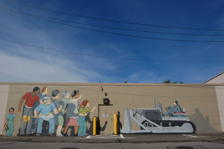
When Barry’s Corner Said, ‘To Hell With Urban Renewal!’ After learning from the example of the West End, one of the neighborhoods who fought back against urban renewal was the tiny area of Lower Allston called Barry’s Corner. A beloved working class area, Barry’s Corner residents did their best to push back against the specter…
The Inner Belt: The Highway Massachusetts Didn’t Build Modern Boston has been shaped by its finished highway projects: the Central Artery, the Southeast Expressway, the Big Dig. But just as key to the character of the city today is a highway that was NOT built: the Inner Belt. This article explores how people fought to…
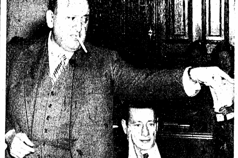
Kane Simonian The distinct name of Kane Simonian belonged to the man who either controlled or influenced Boston’s urban development for over 40 years. He managed the city’s first federally funded urban renewal projects under the Boston Housing Authority. In 1957, he became the first director of the Boston Redevelopment Authority. Simonian’s long, tumultuous, and…
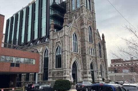
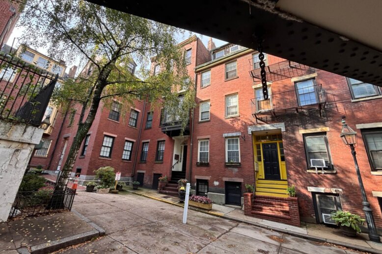
Repurposed Churches and Schools in the South EndA case study on housing in a changing neighborhood As neighborhood demographics have changed in the South End, public buildings and the communities they once served have relocated. Those churches and schools have mostly been preserved in the form of condominiums. However, these units are often high priced…
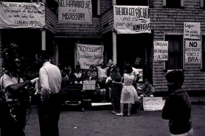
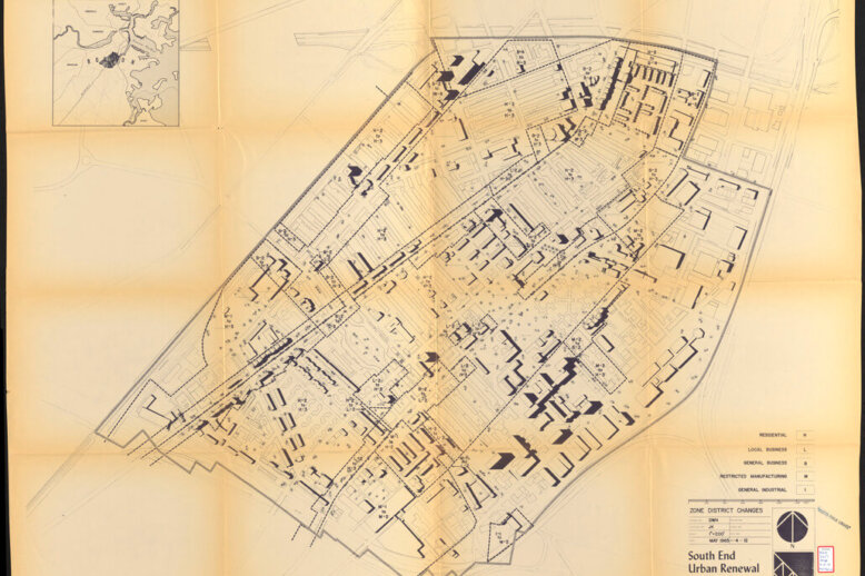
South Enders vs. The B.R.A.: Urban Renewal in Boston’s South End In post-war Boston, city officials razed several low-income neighborhoods for urban renewal. Among those neighborhoods was the South End, a low-income yet culturally rich area. The story of community resistance to urban renewal in the South End included small victories. But the South End…
Uncovering Lindall Place Tucked away in a cozy nook off Cambridge Street, on the border of the West End and Beacon Hill, tiny Lindall Place can easily be overlooked by passersby. The street is modest in size and camouflaged by the elevated Red Line tracks leading to Charles MGH Station from the Beacon Hill Tunnel…
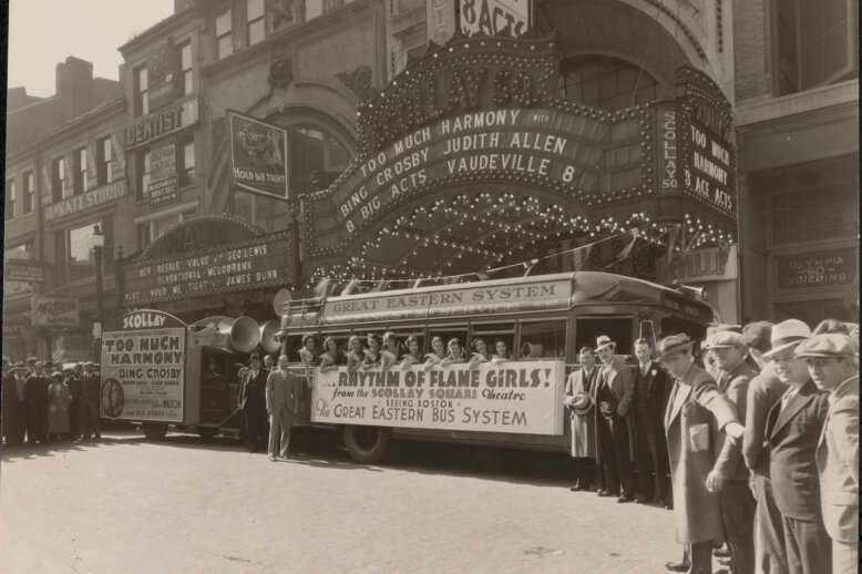
The Signscape of Scollay Square Scollay Square, Boston’s port-side entertainment center, was full of flashing marquees. Directional signs on theatres, peepshows, and taverns helped people find their way through the maze of cobbled streets and guided crowds to transportation or fun. Though Scollay Square was destroyed by urban renewal, the vibrant electric atmosphere has been…
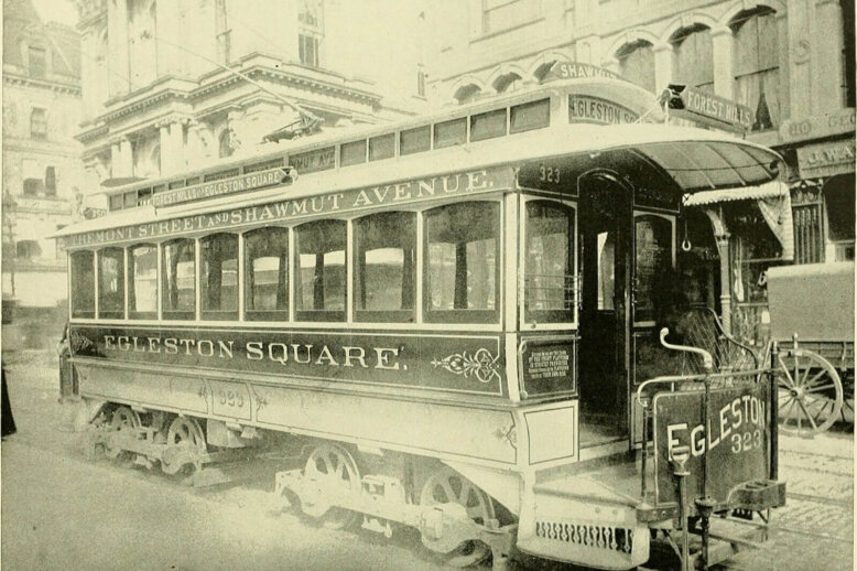
How The West End Meets the World: Mass Transit that Shapes the Neighborhood Tens of thousands of people traverse the West End neighborhood every day without even knowing it. The West End has been home to rail links connecting Boston with North Shore communities and the rest of northern New England for over a century.…