
The Development of the Beacon Hill Neighborhood: A Tale of Two Slopes, Part 2
In Part 1 of this article, we saw how Boston’s first European settlers used Beacon Hill and the land around it. They used the summit as a warning beacon, and the surrounding slopes for pastures, grazing, light industry, and limited home building. It explored how a group of opportunistic investors turned the South Slope into the most desirable address for Boston’s elite. Part 2 explores how the two sides of the Hill, divided by class, eventually merged into a single, recognized neighborhood.
A Hill Divided
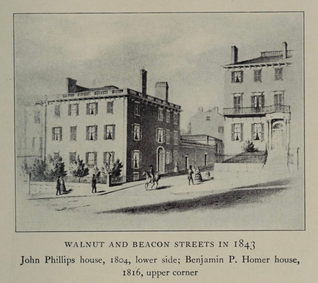
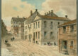
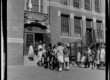
By the 1830s, the Mount Vernon Proprietors project to transform Beacon Hill into a fashionable address was complete. Now, the stark contrast between the north and south sides of Beacon Hill became clearer. Boston’s elite flocked to buy a piece of the South Slope. On the North Slope, a small wealthy enclave remained near Bowdoin Square. However, it mostly remained a Black and working class neighborhood. Black Bostonians maintained their vibrant community throughout the Civil War period. The surge of immigrants into Boston between the 1840 to 1880s changed the neighborhood’s trajectory. The subsequent need for more housing, brought developers to the North Slope. They were keen on replacing old wooden structures with the new tenement design. They bought up properties, forcing much of the Black community to move other parts of the city. Still, the socio-economic dividing line along Pinckney Street remained. By the 1870s, Pinckney Street separated the city’s elite to the south from the Irish, Jewish, and later Italian North Slope West Enders.
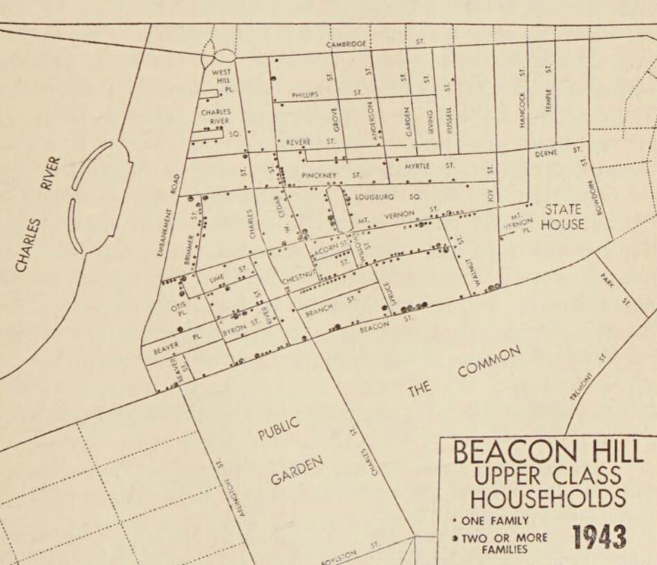
Changes also came to the South Slope in the mid-to-late nineteenth century. New housing developments in the Back Bay and the new South End offered Boston’s upper class enticing options. These new neighborhoods offered larger, more modern townhouses. The street layout was inspired by French design with wide tree-lined streets like Commonwealth Avenue. This drew many wealthy Beacon Hill residents from their aging, Federalist-style mansions. New owners converted single-family South Slope brownstones into multi-unit apartments. Similar conversions had affected the once stately homes in Bowdoin Square including the first Harrison Gray Otis House. The vacuum on the hill was filled with a variety of new residents. Some were immigrants and others were labeled as Bohemians, including members of the arts and queer communities of the time. Most of these newcomers, including the Visionist artistic clique, moved onto Pinckney and Charles Street, but not exclusively.
Beacon Hill the Neighborhood
Despite all the work done by the Mount Vernon Proprietors to create a new residential neighborhood, they never managed to give it a new name. Years after their work ended, the South Slope gradually became known as Beacon Hill without any official branding. The North Slope would continue to be part of the West End neighborhood until the late 1950s.
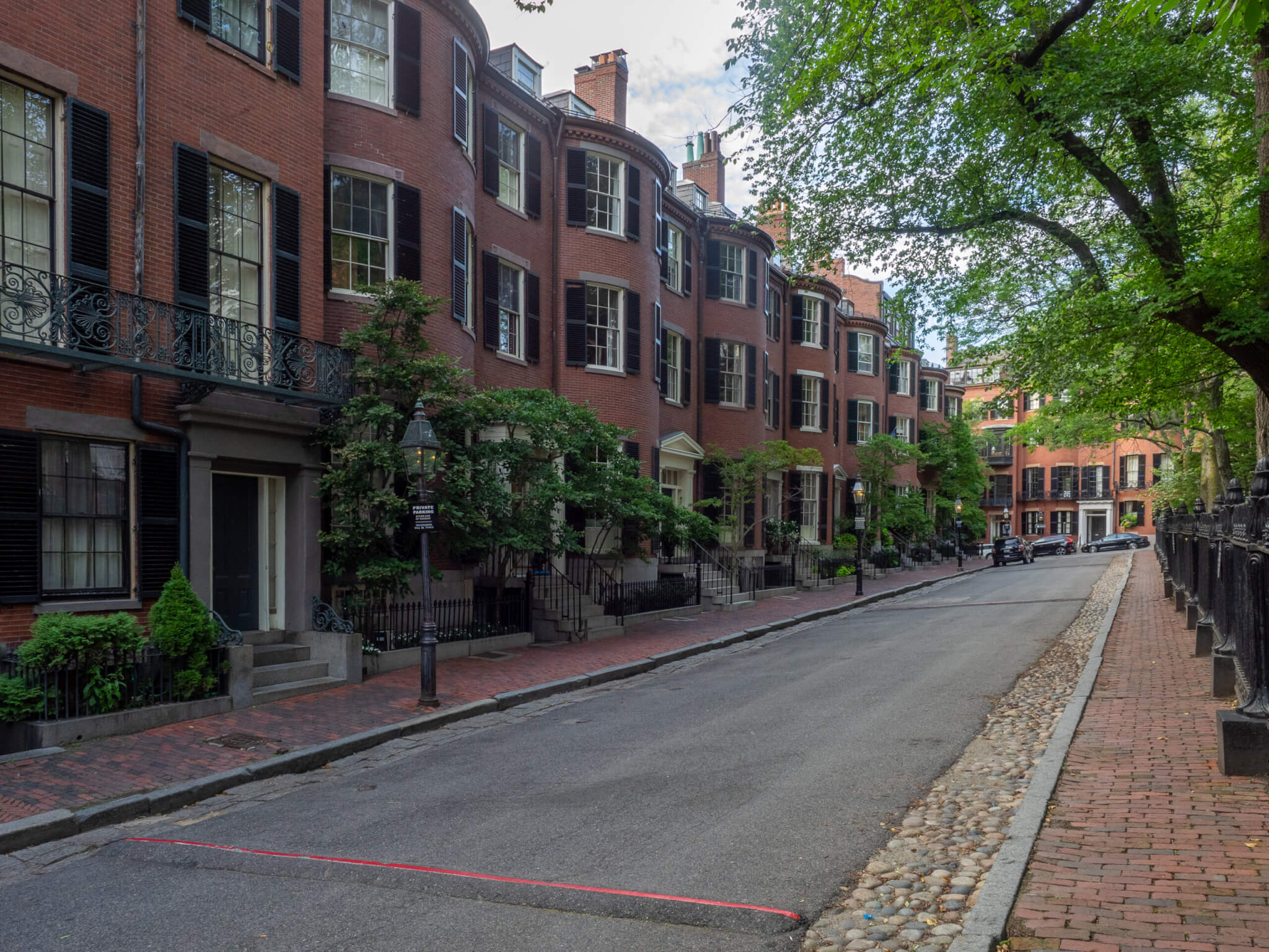
Change inspired South Slope residents to organize and establish a stronger neighborhood identity. Social changes caused by the exodus of wealthy families, the subdivision of homes, and growing number of businesses, led to the creation of the Beacon Hill Civic Association (BHCA) in 1922. The organization’s goal was “to ensure the Hill as a restricted residential district, free from undesirable businesses and apartment houses.” The BHCA lobbied for stronger zoning and sought to protect the district’s unique character by opposing the paving of its brick sidewalks.
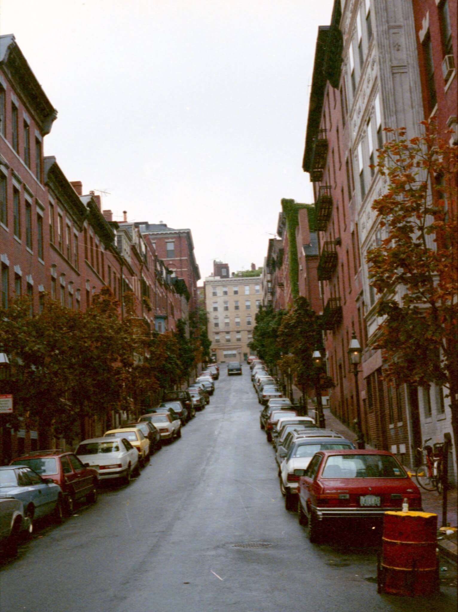
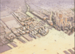
The announcement of the West End urban renewal project in 1953, and the planned demolition of the neighboring district, drove the BCHA to petition the City of Boston for protection. Its influence helped bring about the creation of the Historic Beacon Hill District in 1955. This act ensured “the preservation of the historic Beacon Hill district, and to maintain said district as a landmark in the history of architecture and as a tangible reminder of old Boston as it existed in the early days of the commonwealth.” Having been left out of the West End demolition plan, the North Slope was left open to an easy merger with the rest of Beacon Hill. Though considered one neighborhood today, a close study of the architecture, and to some degree the demographics of both sides, hints at the starker differences of the two slopes that once existed.
Article by Bob Potenza, edited by Jaydie Halperin
Sources: Thomas Coffin Amory, “William Blaxton”, The Bostonian Society Publications Volume I, 1886-1888, 1880; Allen Chamberlain, Beacon Hill: Its Ancient Pastures and Early Mansions (Boston: Houghton Mifflin, 1925); Boston Public Library; Walter Irving Firey, Land use in Central Boston, (Cambridge, MA: Harvard University Press, 1947); Clifford A. Kaye, “The Geology and early History of the Boston Area of Massachusetts, A Bicentennial Approach”, Geological Survey Bulletin 1476; Samuel Eliot Morison, Harrison Gray Otis, 1765-1848: The Urbane Federalist, (Boston: Houghton Mifflin, 1969; Leventhal Map Center of the Boston Public Library; Nancy Seasholes, Gaining Ground, (Cambridge, MA: MIT Press, 2003, 2018); Annie H. Thwing, The Crooked and Narrow Streets of Boston, (Boston: Marshall James Company, 1920); United States Department of the Interior National Park Service, “National Register of Historic Places Inventory – Nomination Form; Beacon Hill Historic District”, 1970; Walter Muir Whitehill, Boston A Topographical History, (Cambridge, MA: Belknap Press of Harvard University Press, 1959).