
Redeveloping The Seaport, Part 1: Warehouse and Rail to Innovation District
Boston’s newest neighborhood sprung up from a rail and wharf district along the South Boston Waterfront. After decades as a sparsely populated industrial and fishing district, the Seaport has quickly become a destination for business, luxury condos, and tourists. How did this rapid change occur and are the financial gains too good to be true?
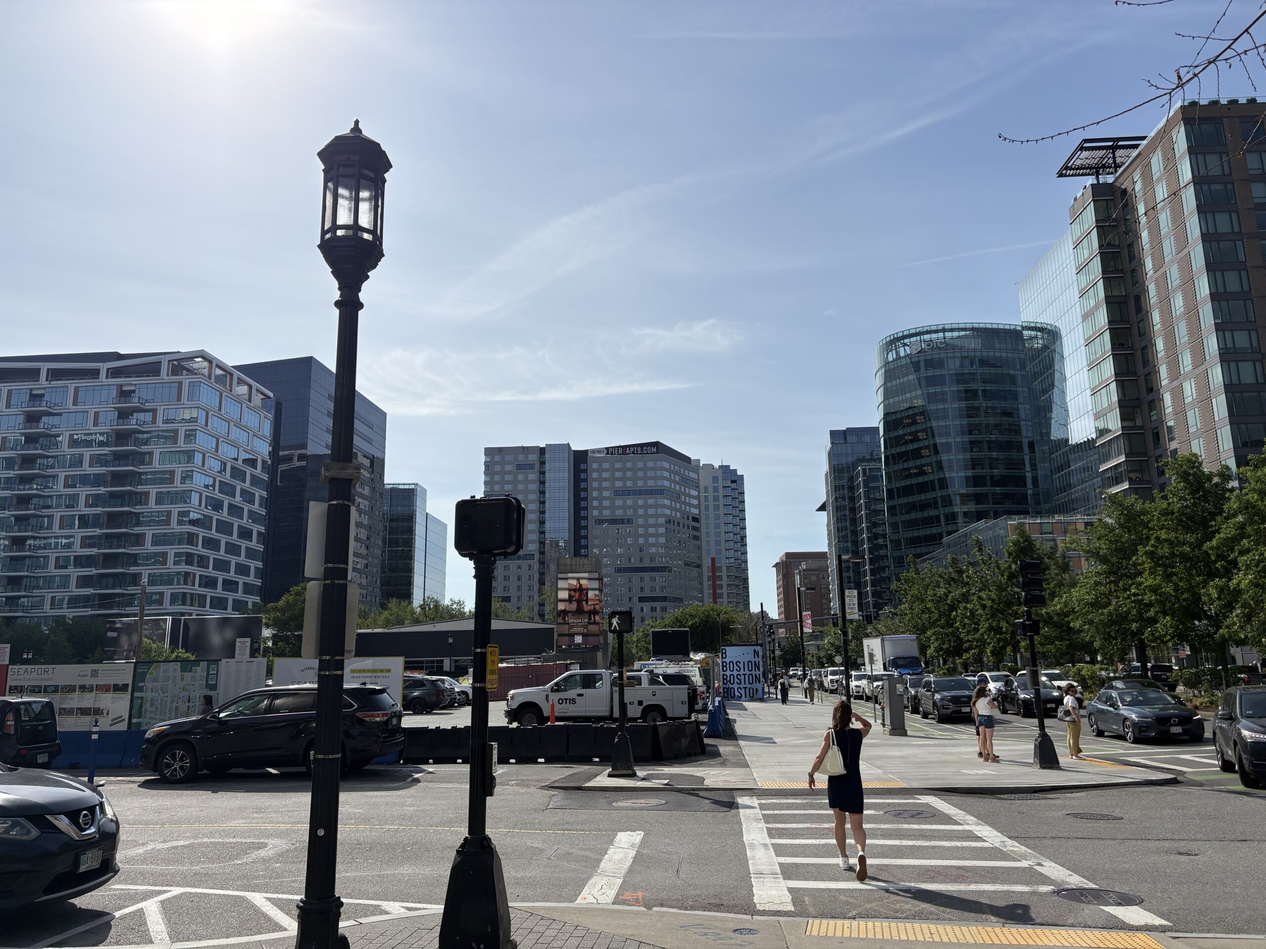
In the mid-20th century, city officials and real estate developers in Boston recognized something rare. They had the opportunity to create a new neighborhood from the ground up. The South Boston Waterfront, also known as the Seaport, had humble industrial origins. Now, it is known for its glass high rises, trendy shops and dining, and corporate culture. How did it become the neighborhood it is today?
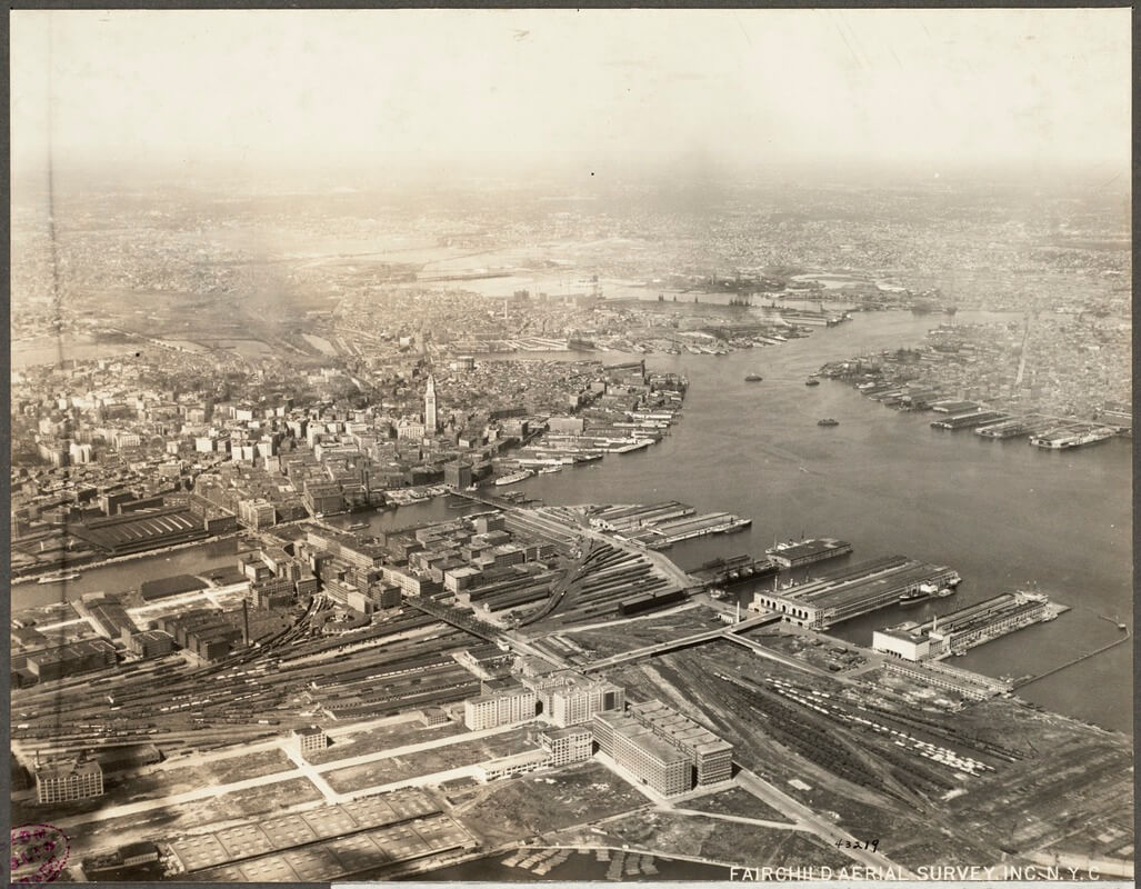
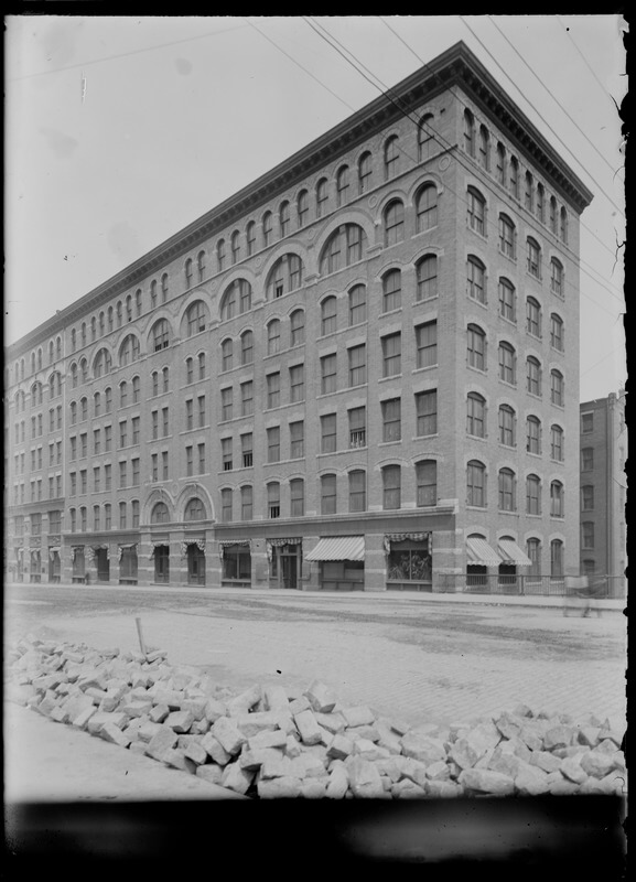
The South Boston Waterfront is a sub-section of South Boston. Yet it has become a totally distinct district. Over the years, developers have expanded the available land by constructing wharves and filling in portions of the harbor. The neighborhood still has some warehouses from its industrial heyday in the Fort Point Historic District. However, the majority of Seaport’s buildings are less than three decades old.
The district has been a boon on the city’s finances and has brought in a lot of property tax revenue. However, many people view the redevelopment as a missed opportunity. Today, the neighborhood is one of the most expensive and racially segregated areas in Boston. These two challenges place the district at the center of the city’s most pressing social issues. On top of that, the area faces a serious threat from rising sea levels.
How did the South Boston Waterfront go from parking lots and warehouses to a top destination for tourists, big businesses, and wealthy residents?
A Warehouse District with a Harbor View
Before the glass towers, the South Boston Waterfront was a busy warehouse district. The Boston Wharf Company (BWCo) incorporated in 1836. It started filling in tidal marshes in Boston Harbor to create more land. This fill makes up much of the modern Seaport.
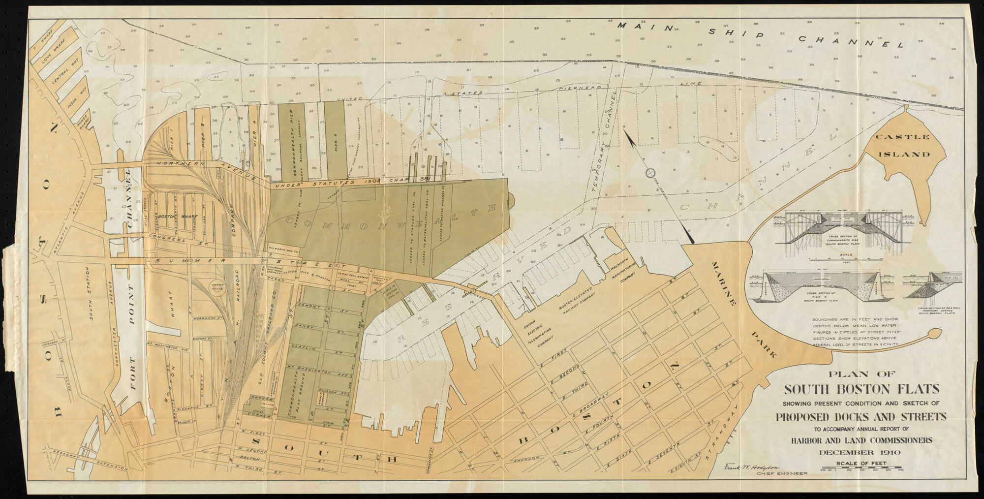
These land reclamation efforts continued to the end of the nineteenth century. In 1869, The Massachusetts legislature approved $5 million (approximately $133 million today) in bonds to help railroad companies. They filled in clam flats and constructed more wharves to make stable ground for train tracks. Soon, the South Boston Waterfront became a sprawling railroad yard. Coal and other goods were loaded off ships and into railcars for transport to cities such as Hartford, New York City, New Haven, and Philadelphia.
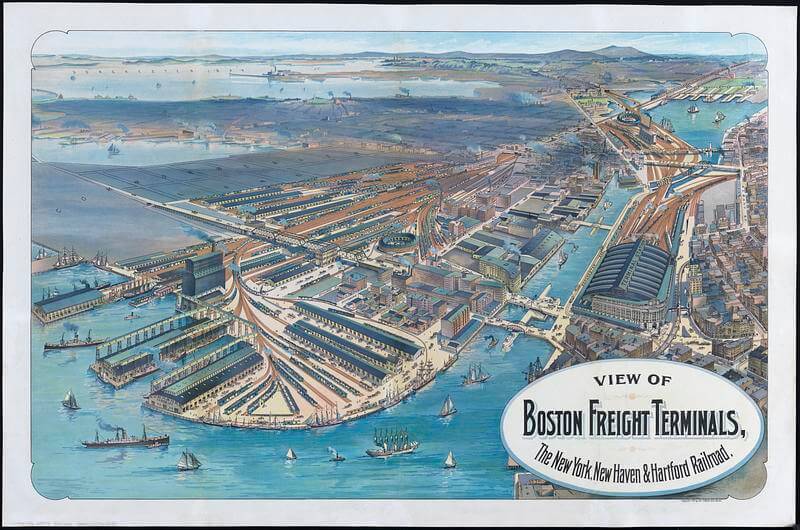
BWCo was the chief owner and developer of new land along the Fort Point Channel. Since they built almost everything, the warehouses have a uniform style. The warehouses stored goods such as sugar, molasses, and wool. The warehouse boom lasted until 1929, when BWCo constructed its last warehouse in the neighborhood. By the mid 20th century, light manufacturing and fish markets had taken root on the Waterfront. Further west, rail lines filled out another few streets. Massachusetts did the rest, creating all the land in the Seaport past Pier 4.
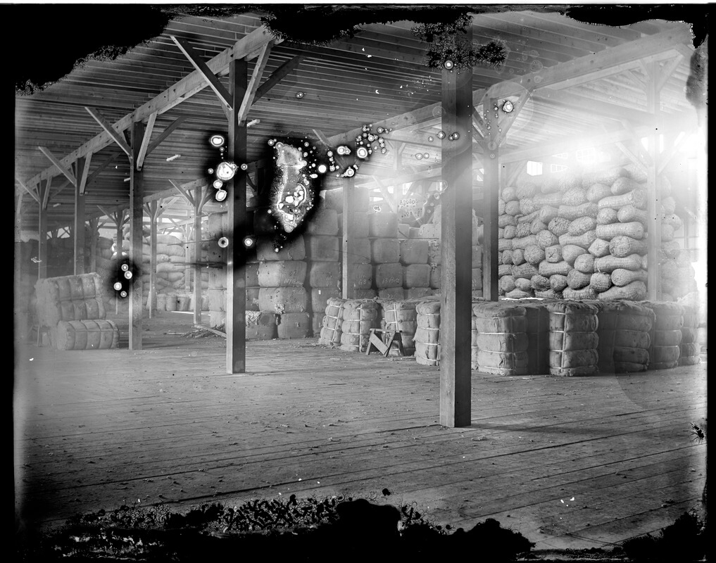
Following World War II, the district experienced a significant decline due to changing technology and culture. New York City became the preferred port of entry for ships carrying cargo, leaving Boston behind. The rise of shipping by truck on the new Interstate Highway System rendered warehouses located near rail obsolete. In the 1950s and 60s, warehouses were abandoned and unused, as were parcels that housed fishing and light manufacturing.
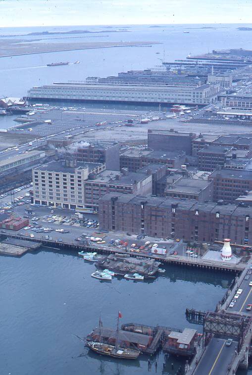
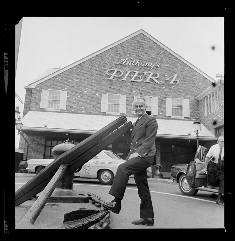
The neighborhood had become a seaside parking lot surrounded by rotting and forgotten wharves. It was what some would consider “blight”. However, a few pioneers saw the area’s potential. Restaurants and establishments began opening, such as Anthony’s Pier 4 restaurant. Artisans and craftsmen founded studios in loft-style buildings in areas like Fort Point. While only 40% of buildings were occupied in the 1970s, these early arrivals sparked interest in renewal.
The South Boston Waterfront’s beautiful harbor views made it some of the most valuable real estate in the city. After World War II, the city was losing people and money and tried multiple times to fix these problems with urban renewal. Several disastrous urban renewal projects later, the promised financial benefits had not materialized. Yet, developers and the City alike recognized the immense opportunity for profit on the Waterfront. They could redevelop this mostly empty land into a luxury work-live-play neighborhood.
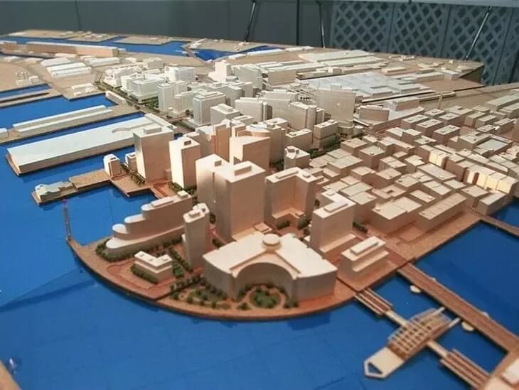
This project had one huge advantage: unlike other redevelopment areas, hardly anyone lived there. There would be no need to demolish homes or displace residents. This avoided the controversy of past projects in the West End, Barry’s Corner, and the South End which displaced thousands. Seaport’s renewal would be much simpler. Its redevelopment would only require clearing a few abandoned rail facilities.
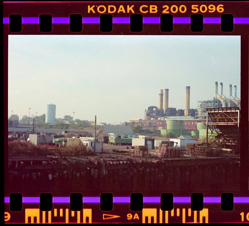
In the late 20th century, huge public projects would clear the way for full-scale redevelopment of the South Boston Waterfront. It should have been an easy win, without the political controversy of previous redevelopment projects. But this is Boston, nothing is without controversy. While past redevelopment efforts created controversy by forcing poor residents out, Seaport’s would do so by effectively creating a segregated neighborhood for the wealthy.
The Redevelopment Saga
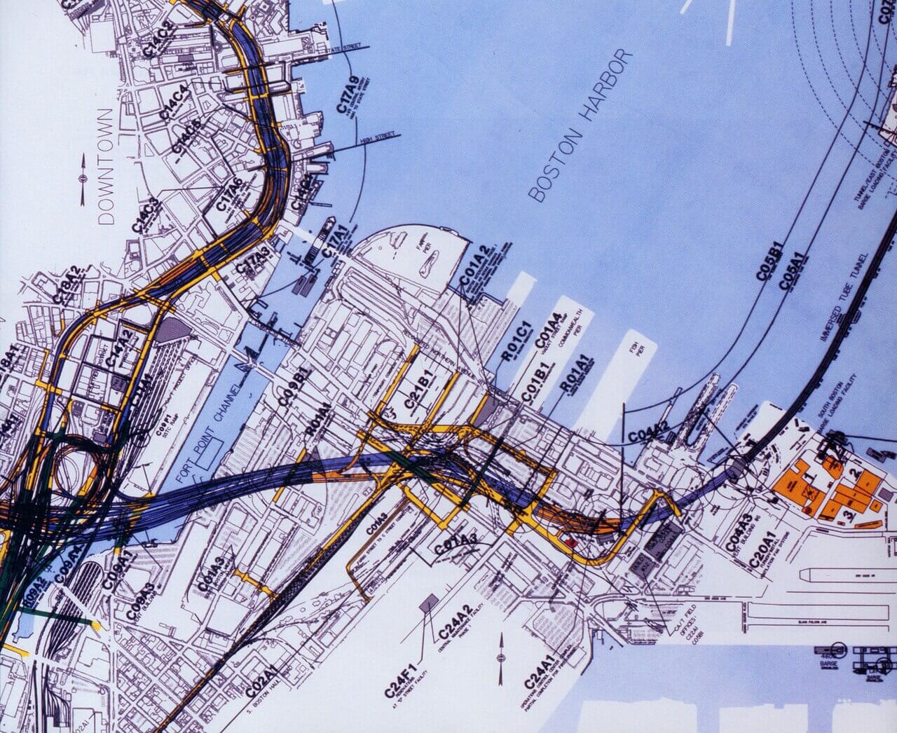
Two massive public projects at the end of the millennium set the stage for private investment in the Seaport. These were the Boston Harbor Cleanup and the Big Dig. By the mid-twentieth century, Boston Harbor was the most polluted body of water in the United States. Raw, untreated sewage from the city and surrounding towns was dumped into the harbor. It was unhealthy, unsightly, and smelled! As early as the 1860s, Back Bay residences faced away from the river to avoid the stench.
In 1972, Congress passed the Clean Water Act, to raise standards and force cities to clean up. Boston invested $3.4 billion into sewage treatment improvements. Today, Boston Harbor is clean, safe (except right after storms), and attractive. The improved water quality helped clear the way for more interest in investment in the Seaport.
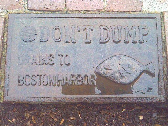
The second project was the enormous Big Dig highway project. Starting in the 1980s, workers built new tunnels under the unsightly elevated Central Artery to prepare to tear it down. The project rerouted I-93 into underground these tunnels. The project also connected I-90 to the South Boston Waterfront and Logan Airport, also through underground tunnels. Finished in 2006, the Big Dig improved accessibility to the Seaport, making it even more attractive to employers and residents.

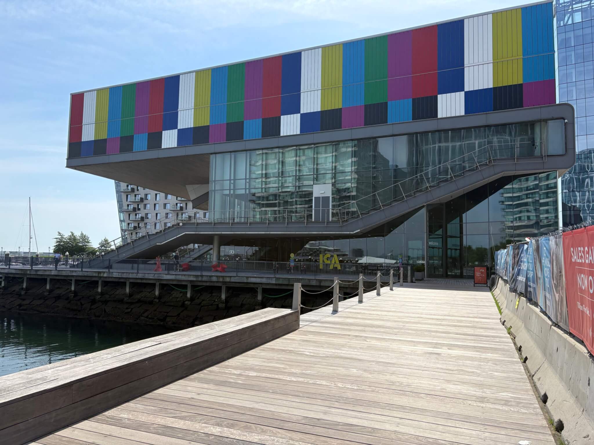
More new projects began to break ground in the Seaport. Considered the first major construction on the Seaport, the Moakley Courthouse was constructed in 1998 on Fan Pier. Construction started on a convention center in 1997, and the Institute of Contemporary Art museum opened in 2006. Following these large investments, there was a surge in interest in the Seaport, now that the “waters” were less uncharted.
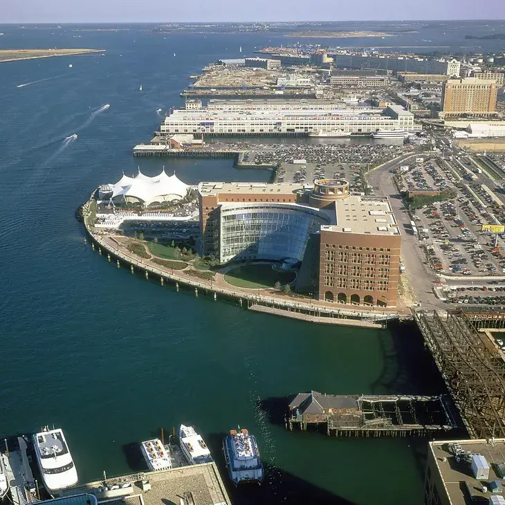
Mayor Thomas Menino had a vision for the unfolding changes to the Seaport. He wanted to usher in a new age of economic prosperity for Boston and modeled plans for the Seaport’s redevelopment off Cambridge’s Kendall Square and California’s Silicon Valley. The goal was to create a neighborhood that would attract tech companies. Menino called the Seaport the “Boston Waterfront Innovation District.”
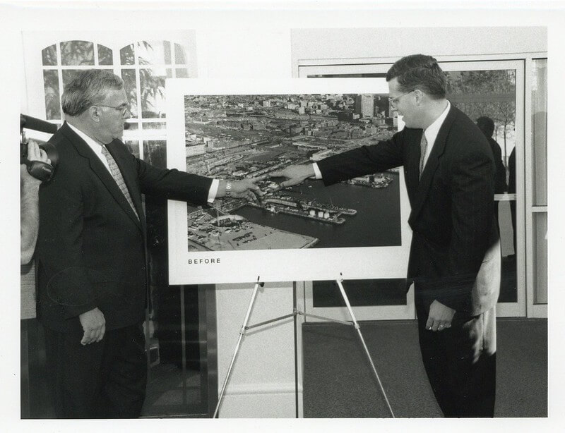
The City incentivized companies to move to the Seaport through generous tax incentives. The first major commercial tenant in the Seaport’s Fan Pier was Vertex Pharmaceuticals. They relocated from Kendall Square in 2014. Other major companies that relocated to the Seaport or plan to do so include Amazon, Hasbro, Reebok, and General Electric.
By 2026, the Seaport has become a firmly white-collar neighborhood, and one of the largest urban lab markets in the nation. The financial benefit to the city has been staggering, yet the social and political aspect of the project is less widely praised.
In part two of this article, explore who gets to have a view of the harbor and who does not. Plus, learn the existential threat climate change poses to Boston’s newest, shiniest neighborhood.
Article by Nick LaCascia, edited by Jaydie Halperin
Sources: Marci L. Bortman, “Boston Harbor Clean Up” (Environmental Encyclopedia, Encyclopedia.com, July 9 2026); Boston Landmarks Commission, “The Fort Point Channel Landmark District Study Report,” (Environment Department, City of Boston, December 9, 2008); Catherine Carlock and Yoohyun Jung, “Water is coming for the Seaport; the whole city will be poorer for it” (The Boston Globe, October 28, 2025); City of Boston Planning Department, “Boston in Context: Neighborhoods | Boston’s Population by Neighborhood as of January 1, 2025” (City of Boston, 2025); Nick Collins and Linda Corcena Forry, “Opinion: Making the Seaport accessible to all,” (The Boston Globe, December 29, 2017); FEMA, “FEMA Flood Map Service Center: Search By Address | Search Query Boston”; Michael Hoban, “The Creation of a Neighborhood: Boston’s Seaport,” (Urban Land, September 10, 2018); JoAnne Kittrell, “EPA Highlights Boston Harbor as a National Success Story to Celebrate the 50th Anniversary of the Clean Water Act,” (EPA, October 7, 2022); Letters, “Boston’s Seaport District: a gleaming disappointment,” (The Boston Globe, February 6, 2021); Massachusetts Department of Transportation, “The Big Dig: project background,”;William Nicholson, “Seaport District, Boston, MA” (Hansen Geography Project, Macalester College, 2023); Kyle Paoletta, “On the Waterfront: An Oral History of the Boston Seaport,” (Boston Magazine, June 23, 2020); Seaport Neighborhood Association, “Seaport – part of Boston’s past, present and future”.