
I-91, Springfield's North End, and Urban Renewal
Today the fourth most populous city in New England, in the mid-twentieth century Springfield underwent an ambitious and catastrophic urban renewal project. Highway construction along the Connecticut River and the isolation of a historically immigrant neighborhood led to long-lasting consequences.
Four Commonwealth cities – Boston, Cambridge, Salem, and Springfield – approved urban renewal plans in the 1960s. These projects varied greatly. This is the fourth in a series of articles on urban renewal across Massachusetts.
Four municipalities in the Commonwealth started urban renewal projects in the 1960s. Municipal governments across the country claimed federal funds during the age of urban renewal. They bulldozed housing and drove highways through urban cores. The wrecking balls displaced hundreds of thousands of residents, most of them poor, many of them Black or Latino. In Massachusetts, this destructive early era of renewal saw demolitions in Boston, Cambridge, Salem, and Springfield.
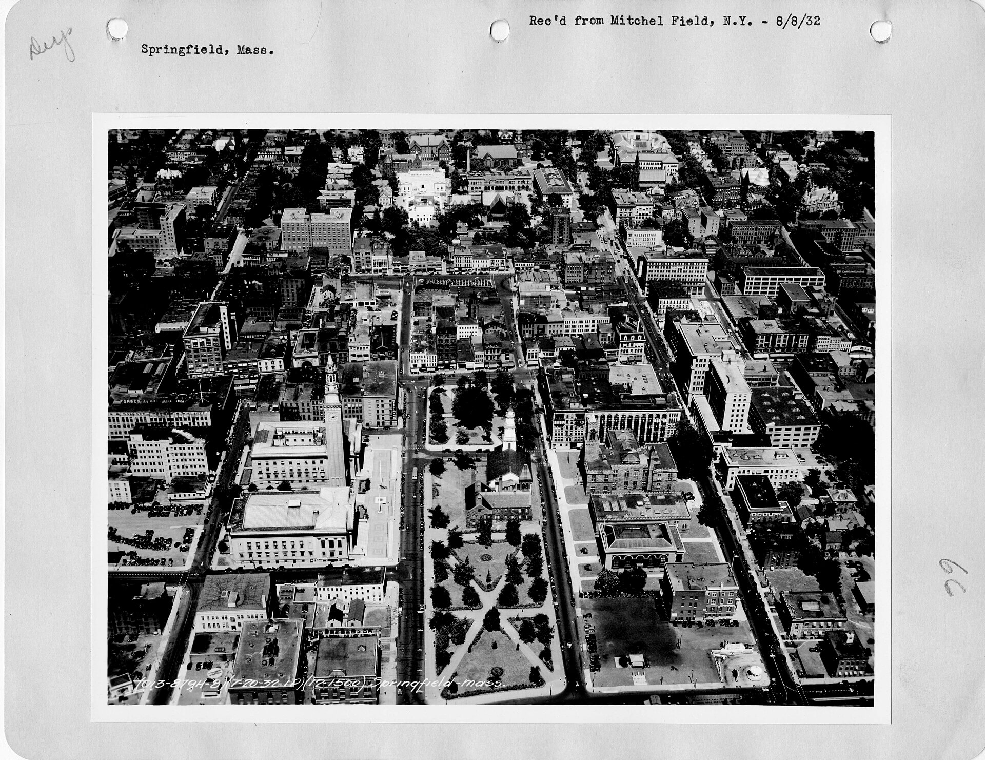
Between roughly 1958 and the mid-1970s, Springfield razed entire districts. It rerouted streets that had existed for generations. It built an elevated interstate directly through its historic and populated riverfront neighborhoods. The results were, by almost any measure, catastrophic. The project shattered communities and cut the city off from its greatest natural asset for decades. Plus, the populations least able to absorb the shock bore the full weight of the disruption.
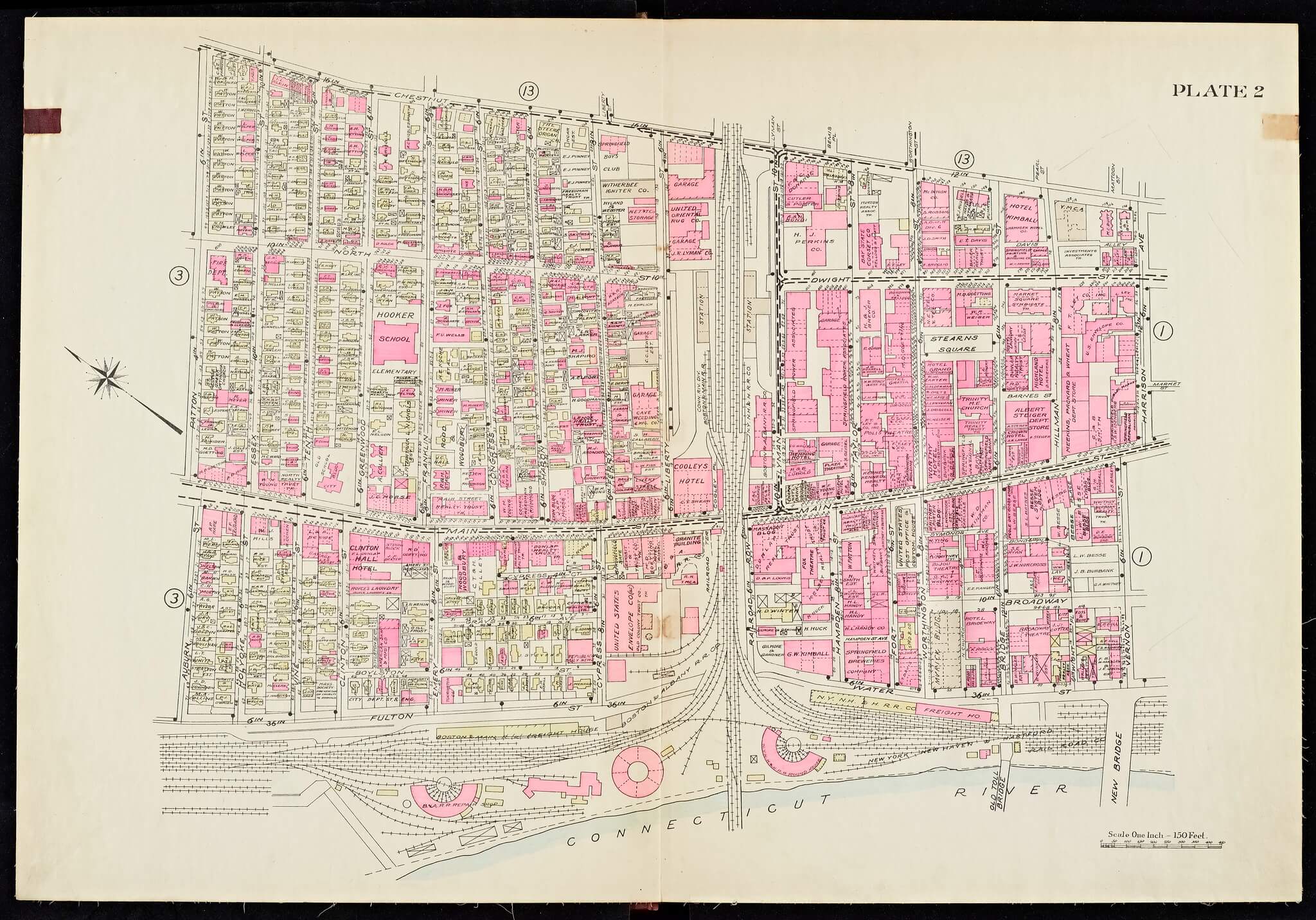
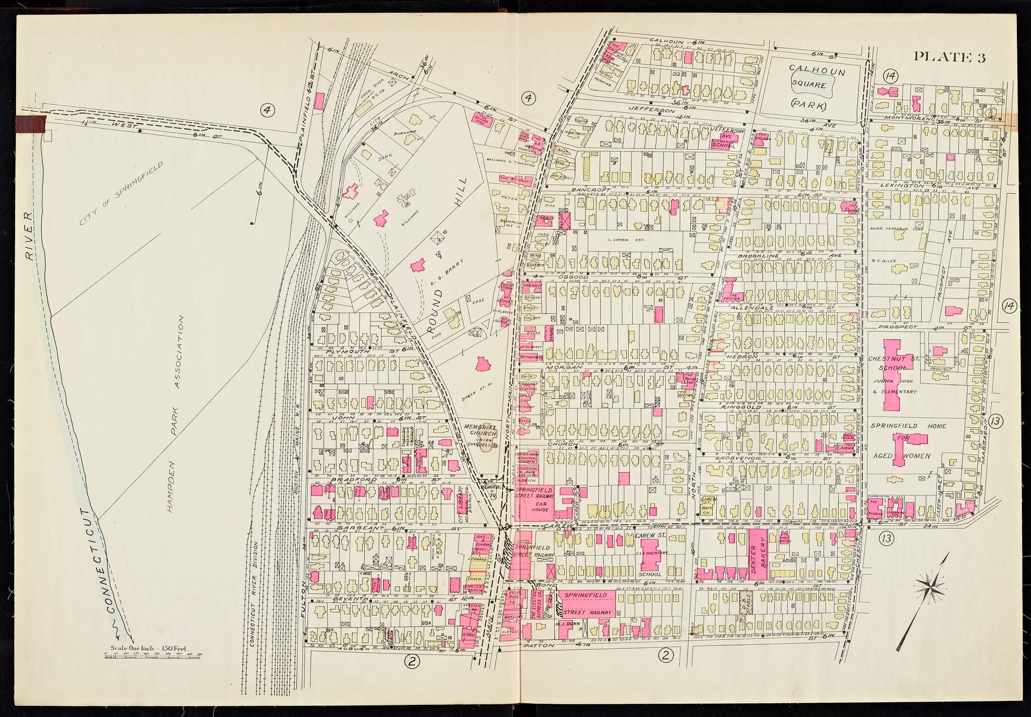
Plates 2 and 3 from the 1920 Richards Standard Atlas of the City of Springfield and the Town of Longmeadow. (State Library of Massachusetts).
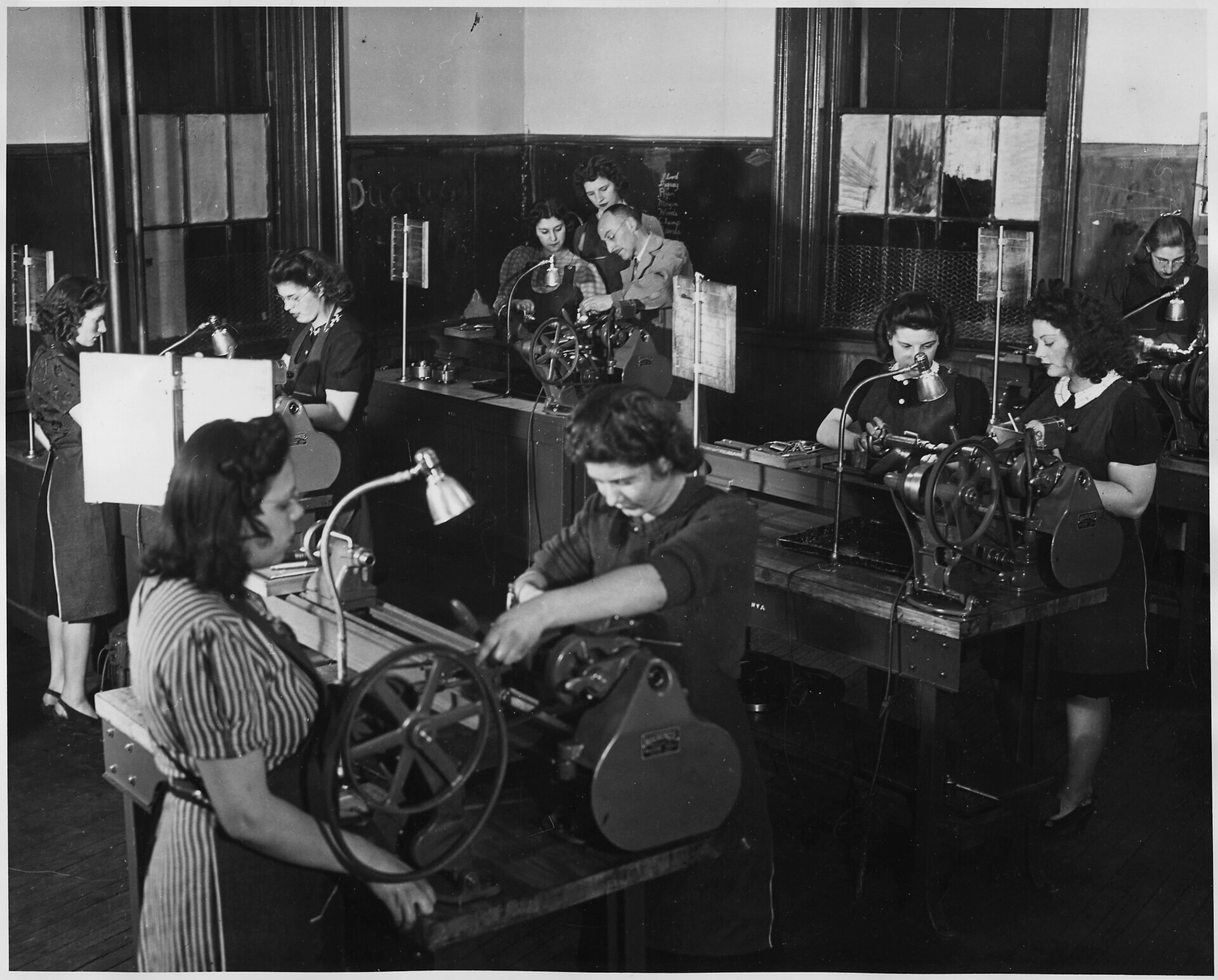
At the time of Springfield’s urban renewal plan, the city was actually performing quite well on several fronts. As of 1960, manufacturing was the dominant industry in Springfield, employing 34% of the workforce. Median family income was higher than the national average. The percentage of adults with at least a high school degree was slightly above the average. Between 1940 and 1960, the city’s population had grown at a significant rate. It reached almost 175,000 residents by the end of the period. While more people lived there, it wasn’t particularly diverse. Like Boston, Cambridge, and Salem at the time, Springfield was also overwhelmingly white. Over 90 percent of Springfield’s population was white in 1960. The Black population made up only 7.5 percent of residents. (The US Census did not collect information about Hispanic or Latino populations at that time.)
The North End and Interstate 91
Much of Springfield’s urban renewal story revolves around Interstate 91. The 1953 Master Highway Plan for the Springfield area called for I-91 to run along West Springfield’s Riverdale Road. This was on the opposite, western bank of the Connecticut River. However, the implemented plans built the highway on the Springfield side of the river, through neighborhoods like the North End.
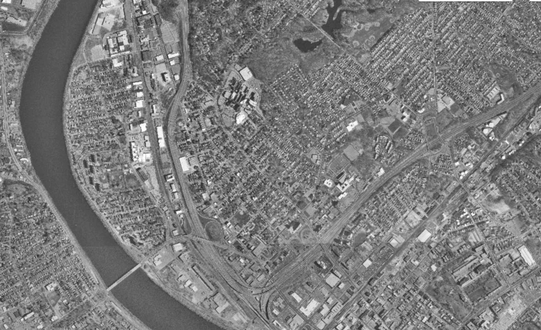
The North End of Springfield had long been home to successive waves of immigrants. Greeks settled in Memorial Square, Russians in Liberty Heights, and, by mid-century, Puerto Ricans had moved in. It was home to low income, newer immigrant communities with limited political power. This is precisely what made the North End attractive to highway planners. As one regional planner later observed, new immigrant groups tended to be less involved in the political process. These conditions made mass evictions and property takings needed for highway construction possible.
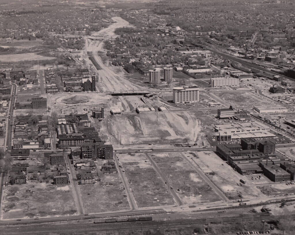
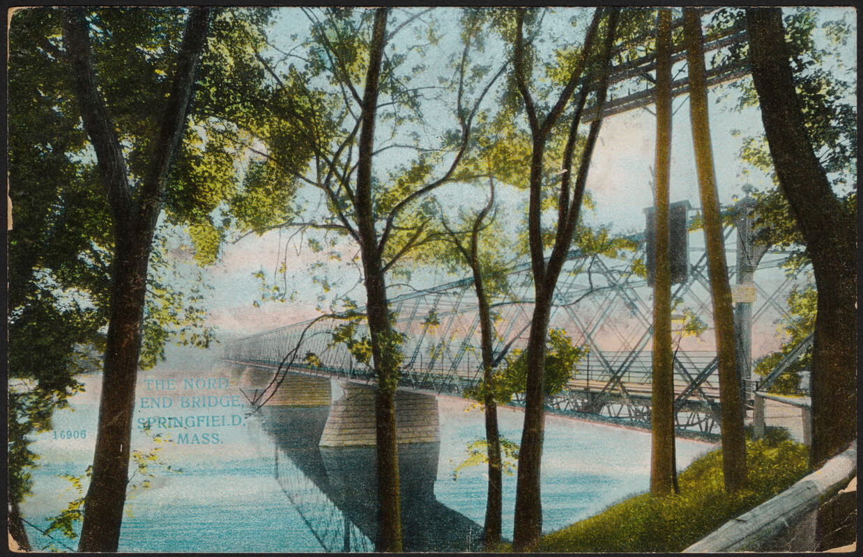
The elevated, eight-lane I-91 rose on Springfield’s riverfront in the 1960. The most challenging urban sections were completed last. To support plans for urban renewal along the “low value” waterfront, the highway crossed the Connecticut River. This route bypassed West Springfield and Agawam. It allowed the highway to run parallel to active New York, New Haven, and Hartford Railroad tracks on the Springfield side of the river. Its construction leveled roughly sixty acres of homes and apartments that the city designated as “blighted”. Entire streets were erased and the city was severed from the Connecticut River.
The North End was also divided in half. The neighborhood had already been cut off from the rest of the city. Interstate 291 (the Springfield Expressway) had been built through the area as a spur. It connected downtown to the Massachusetts Turnpike (Interstate 90) by slicing through the North End. Then I-91 bisected what remained, splitting the North End into two pieces. There was Brightwood to the northwest and Memorial Square to the southeast. Both neighborhoods have since suffered from high poverty, unemployment, and health issues.
The Main Street Corridor
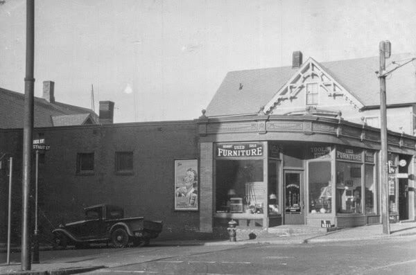
Highway construction was only one part of Springfield’s urban renewal program. The city simultaneously undertook a massive demolition campaign along its Main Street corridor. It targeted the area between the railroad arch and Memorial Square. This was roughly the North End’s commercial and residential heart. By the early 1960s, nearly every building in this zone had been razed. Streets that had existed for over a century were eliminated or renamed. The old Liberty Street became Frank B. Murray Street. The new Liberty Street runs where Ferry Street used to. Greenwood Street, which had run for two blocks from Main Street to Chestnut Street, disappeared entirely. Its block of housing and a school were replaced by a highway interchange.
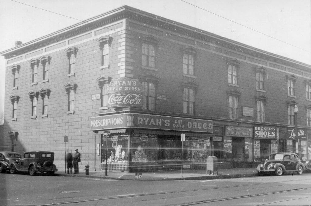
The scale of the demolition was staggering. Block after block of Victorian and early twentieth century housing were cleared. Brick commercial structures, multi-family homes, and neighborhood institutions were reduced to rubble. Planners promised this destruction would make way for a revitalized downtown. Some of the land was redeveloped for commercial properties but much of it became parking.
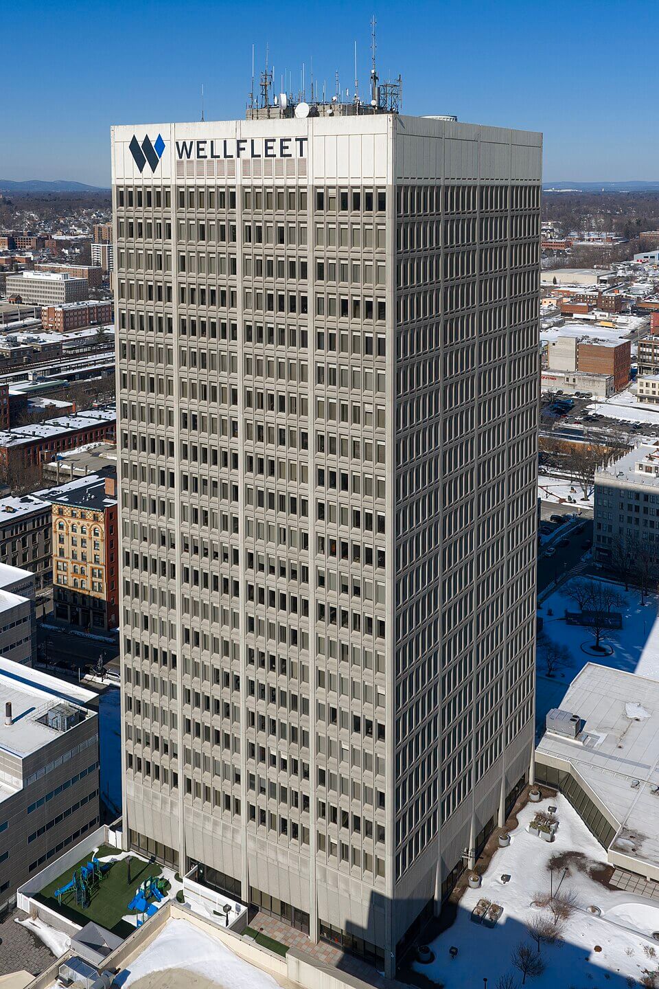
The centerpiece of the commercial redevelopment was the Baystate West complex, now known as Tower Square. It was a typical response to suburban mall competition and downtown commercial decline. This mixed-use development had an office tower, hotel, and retail center. The plan was to halt urban decay and reinvigorate the area by consolidating commercial activity and fostering connectivity through elevated walkways to nearby department stores. Yet the complex could not replace the dense, street-level urban fabric that had made the downtown corridor function as a living neighborhood.
Displacement and Its Consequences
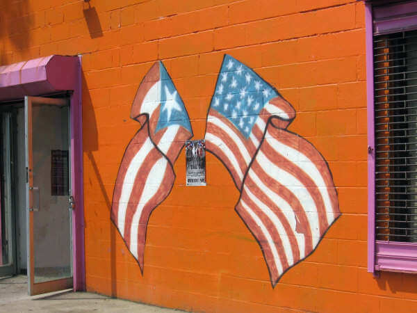
Who paid the price for all this? The residents displaced by I-91 and the Main Street clearance program were overwhelmingly working-class people of color. The North End’s Puerto Rican community had grown substantially in the postwar decades. Agricultural workers from the island had been drawn to New England factory work. By the 1960s, they found themselves caught between the highway corridor and a now-compressed housing market. Many displaced North End residents had nowhere to go but back into the neighborhood that had already been squeezed by demolition and disinvestment. The result was severe overcrowding and deteriorating conditions in what North End housing remained.
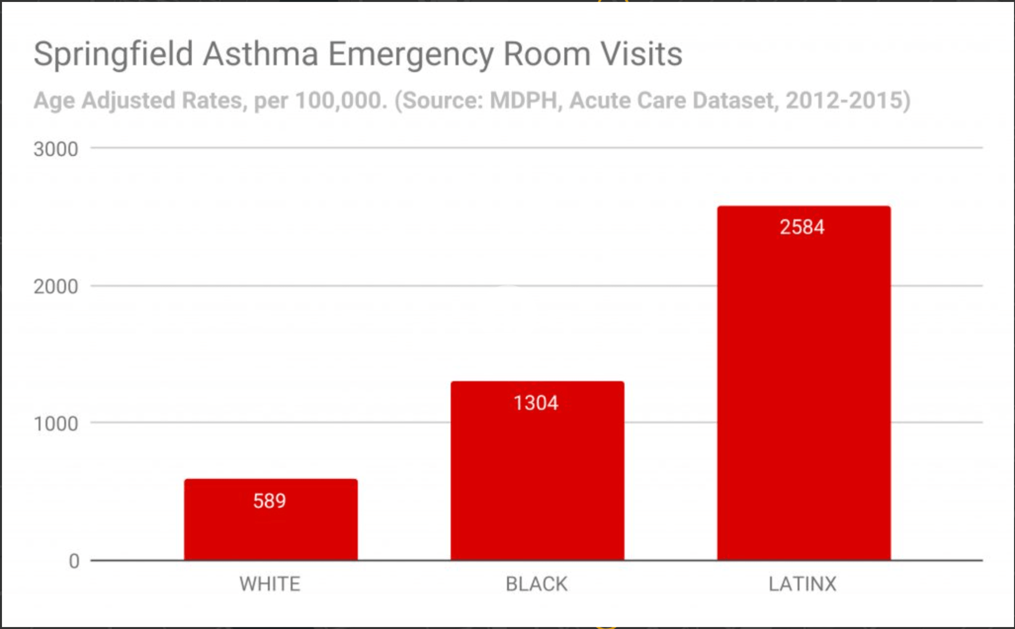
The environmental consequences compounded the social ones. Beyond the immediate loss of housing, I-91 introduced a new and persistent respiratory hazard. North End residents had long lived near heavy industrial and manufacturing operations. After I-91, hundreds of thousands of vehicles now traveled the elevated highway daily, passing directly above the remaining North End. In 2018, Springfield was named the “Asthma Capital of the United States”. The rise in asthma diagnoses and hospitalizations can be directly linked to the city’s environment. Aging infrastructure, seasonal allergies to pollen, and poor air quality in older housing, all contribute to higher rates.
What the city had promised as an engine of economic growth had become, instead, a wall. It was a barrier between the people and their river and a source of chronic health burdens. The poorest residents bore the brunt of these issues and the promised economic benefits never materialized.
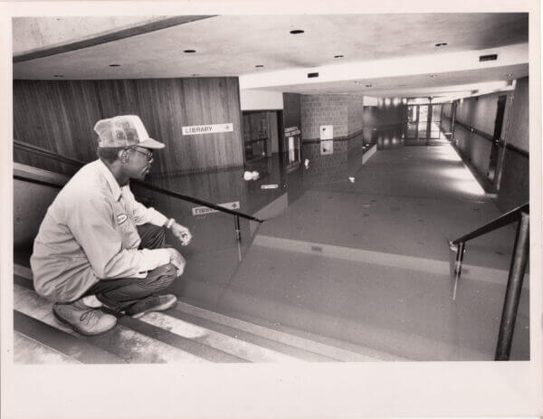
In Springfield, a small gesture toward remediation came in 1975 with the construction of the Gerena Community School. It was designed to physically reconnect the Brightwood and Memorial Square neighborhoods divided by I-91. A tunnel linking the two areas was built into the structure along with community services. The school was conceived as an acknowledgment of the damage done. But it was in a low-lying flood plain beneath the highway. By 1994, persistent environmental hazards had forced the closure of its community services.
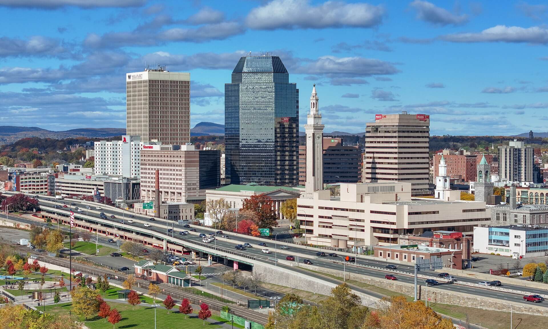
Springfield’s urban renewal era left a cityscape that still bears its marks. The elevated highway walls off the riverfront. Vast parking lots stand where neighborhoods once did. The isolated pocket of Brightwood has been cut off from the rest of the city and the renamed streets no longer map onto any living memory. These changes and consequences were not inevitable. They were the costs of specific decisions by people outside the affected areas, using federal money and the power of eminent domain. Springfield was confident, but ultimately mistaken, in its belief that the future would be built by clearing the past.
Article by Daniel Spiess, edited by Jaydie Halperin
Sources:
Price Armstrong, “50 Years of Highways and the Decline of Springfield’s North End,” (Pioneer Valley Planning blog, February 2016); Asthma and Allergy Foundation of America, “Springfield, Massachusetts: Why It’s the #1 Asthma Capital | Asthma and Allergy Foundation of America.” (May 15, 2019); Lynn Elaine Browne et al. “Towards a More Prosperous Springfield, Massachusetts: Project Introduction and Motivation. Community Development Discussion Paper No. 09-01.” (Federal Reserve Bank of Boston, August 2009); Climates of Inequality, “The Gerena School: Contested Grounds,” “Seeking Environmental Justice in the North End,” (2021); Commonwealth of Massachusetts Executive Office of Housing and Livable Communities, “Urban Renewal Plans in Massachusetts,” Updated May 2023;“Environmental (In)Justice” Neighbor 2 Neighbor Massachusetts; “Interstate 91” (Wikipedia); Ann Pfau, David Hochfelder, and Stacy Sewell. “Urban Renewal” in The Inclusive Historian’s Handbook. (American Association for State and Local History and National Council on Public History); Frank Sleegers and John Taylor, et al. “Making Connections – Envisioning Springfield’s North End.” (University of Massachusetts, Amherst Department of Landscape Architecture & Regional Planning Senior Urban Design Studio, Fall 2009); Derek Strahan, “Main Street Springfield” (Lost New England, 2014); UMass Amherst Henry M. Thomas III Center at Springfield, “Tower Square History” (UMass Amherst).